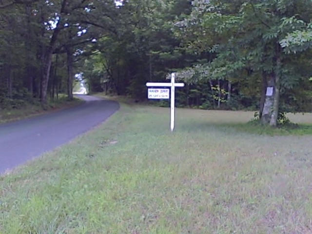

South Isle Lane, near where #678 joins #649 (Coles Ferry Loop), Charlotte County, Virginia, 24528, USA
South Isle Lane, near where #678 joins #649 (Coles Ferry Loop), Charlotte County, Virginia, 24528, USA
Coordinates:
36.9935,
-78.80176

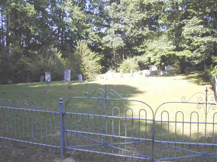
South Isle Cemetery located in South Isle Lane, near where #678 joins #649 (Coles Ferry Loop), Charlotte County, Virginia, 24528, USA with 7 memorials. Its cemetery ID is 2316638.


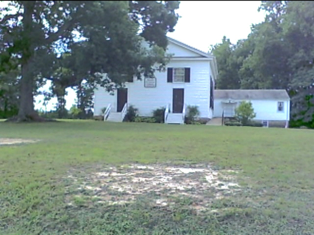
2400 Ridgeway Road (Rt. 678), Aspenwall, Virginia, 24528, USA
241
92%
Coles Ferry Road (Rt 649), Aspen, Virginia, USA
34
74%
1.86 mil
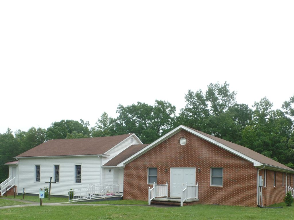
444 Ridgeway Road (Rt. 678), Aspenwall, Virginia, 24528, USA
183
69%
2.49 mil
Aspen Wall Road (Rt. 619), Brookneal, Virginia, 24528, USA
80
98%
870 Mt Carmel Road, Charlotte County, Virginia, 24528, USA
526
70%
4.97 mil
Highway 698, West of Highway 746, Saxe, Virginia, 23962, USA
4

5.59 mil
131 Old Well Road (Rt. 617), Phenix, Virginia, 23959, USA
462
85%
6101 Scuffletown Road (Rt. 746), Randolph, Virginia, 23962, USA
205
94%

