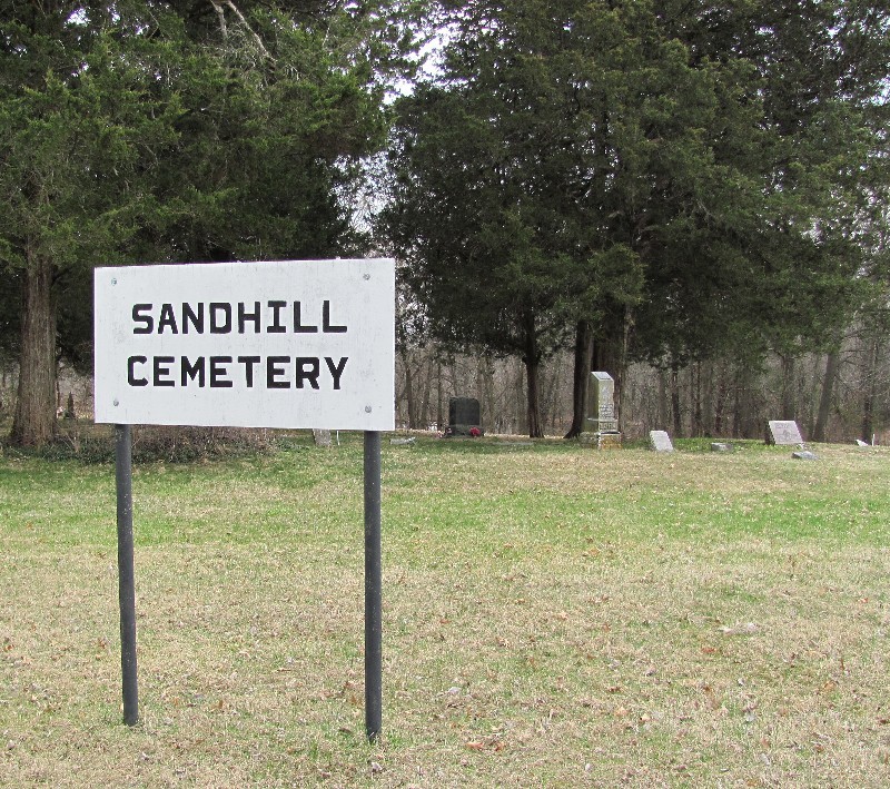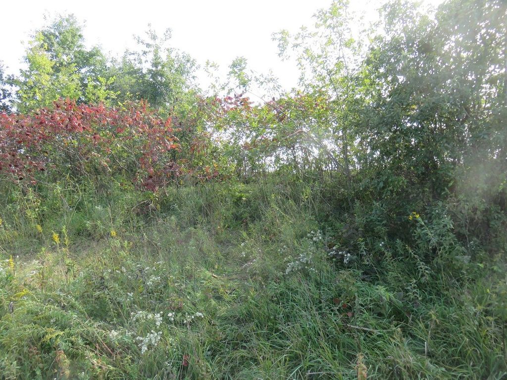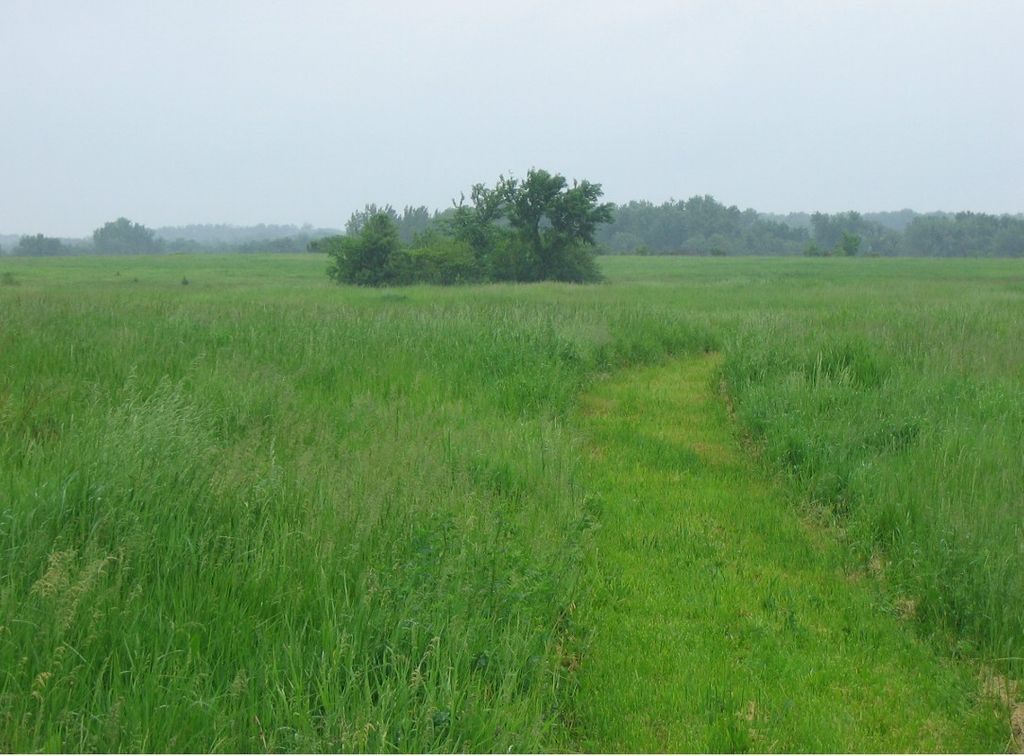

On private land, the cemetery is in a field SW of the intersection of State Hwy's M & W., Sand Hill, Missouri, USA
On private land, the cemetery is in a field SW of the intersection of State Hwy's M & W., Sand Hill, Missouri, USA
Coordinates:
40.33077,
-92.13083
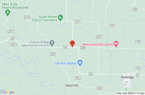
Matlick Cemetery located in On private land, the cemetery is in a field SW of the intersection of State Hwy's M & W., Sand Hill, Missouri, USA with 3 memorials. Its cemetery ID is 2307297.