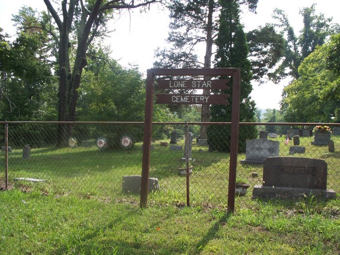
Falls of Rough, Kentucky, USA
Coordinates: 37.5929, -86.5053
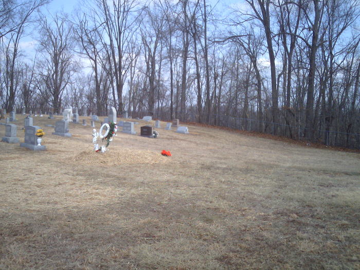
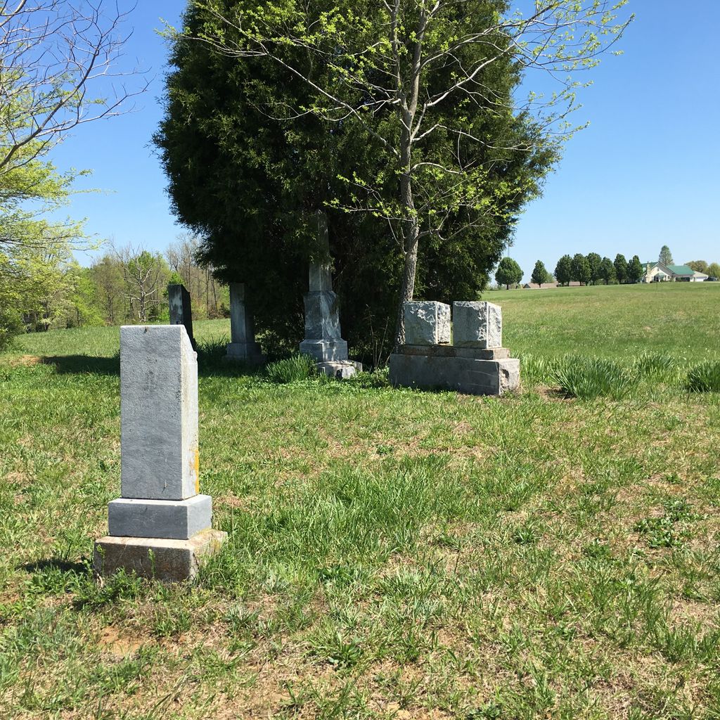
Lone Star Cemetery located in Falls of Rough, Kentucky, USA with 171 memorials. Its cemetery ID is 2222017.
171
1.24 mil
Short Creek, Kentucky, USA
8
100%
1.86 mil
22
86%
Grayson County, Kentucky, USA
58
88%
Leitchfield, Kentucky, USA
148
76%
2.49 mil
260
97%
Axtel, Kentucky, USA
9
3.11 mil
57
91%
Lazy Day Road, Axtel, Kentucky, 40143, USA
175
89%
3.73 mil
Pine Knob, Kentucky, USA
218
78%
7